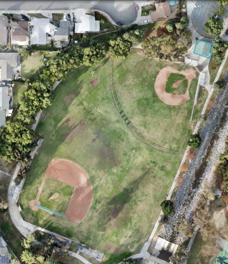
SITE MAPPING
WHY SETTLE?
With our ability to produce hi-resolution 2D or 3D imaging, why settle for insipid and unavailing ground-level photography and video when aerial drone imaging is within your reach?
A collection of images can be ”stitched” together to create a detailed photographic map, geometrically corrected to account for any distortion – far exceeding a conventional 2D map.
”Stitching” a series of aerial images using modeling software to create 3D or volumetric models can enable professionals to efficiently and affordably evaluate topography, monitor progress of projects, or even keep an eye on soil erosion.

CHANGE YOUR PERSPECTIVE
Nearly any industry in the Los Angeles and Orange County area can benefit from aerial imaging. From marketing to site inspections to land surveys - Photography and videography captured from a birds-eye perspective gets the attention and visibility you want for everything imaginable. We can further process the aerial images to offer additional insights; like elevation profiles, excavation mass and volume, vegetation health, etc., which can be a tangible game changer in industries like agriculture and construction.

HAWKEYE DRONE SERVICES
© Copyright. All rights reserved.
We need your consent to load the translations
We use a third-party service to translate the website content that may collect data about your activity. Please review the details in the privacy policy and accept the service to view the translations.